Eden Walter · 12 September 2026
Sediment Dynamics and Their Influence on Floodplain Fertility in Contemporary Agricultural Practices
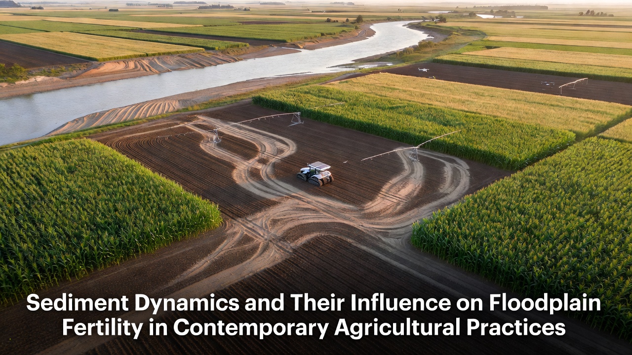
River systems transport vast quantities of sediment each year, and these materials settle across floodplains during seasonal inundation events, replenishing soil profiles with minerals and organic matter that support crop growth. Observers note that the balance between erosion in upstream catchments and deposition downstream determines how much fertile material reaches agricultural zones, while altered flow regimes from dams and land-use changes can reduce natural sediment delivery. Researchers have tracked these processes across multiple continents, and data shows consistent patterns where floodplains receive annual increments of silt and clay that enhance nutrient retention and water-holding capacity.
Mechanisms of Sediment Transport adn Deposition
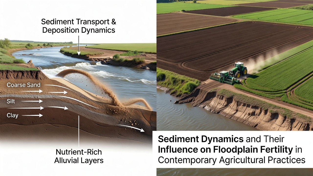
Sediment moves through river channels in suspension or as bed load, and high-flow periods mobilize particles ranging from fine clays to coarse sands that later settle when velocities decrease on floodplain surfaces. Hydrologists measure suspended-sediment concentrations during flood events, and these readings reveal that the largest nutrient loads often arrive with the finest fractions because phosphorus and nitrogen compounds bind readily to clay surfaces. In many temperate basins, deposition peaks during spring snowmelt or monsoon rains, creating layered deposits that farmers have historically relied upon for sustained productivity without heavy fertilizer inputs.
Channel modifications and levee construction interrupt these natural cycles, concentrating flows within confined corridors and limiting overbank spreading. Engineers documented reduced aggradation rates after major infrastructure projects, and subsequent soil surveys indicated declining organic carbon levels in areas cut off from regular sediment renewal. Catchment-scale modeling now incorporates these variables to forecast long-term fertility trends under different management scenarios.
Nutrient Contributions to Agricultural Soils
Once deposited, sediments release bioavailable nutrients through weathering and microbial activity, and studies conducted in the Mississippi River valley demonstrate measurable increases in available potassium and micronutrients following documented flood events. Soil scientists sample floodplain profiles before and after inundation, and results consistently show elevated cation-exchange capacity in recently deposited layers compared with adjacent upland soils. These additions support higher yields for staple crops such as maize and wheat, particularly where irrigation supplements natural moisture regimes.
Organic matter carried with sediments also fuels soil biological communities, and repeated deposition events build deeper A horizons that resist compaction under heavy machinery. Australian researchers working in the Murray-Darling basin reported similar fertility gains after controlled environmental releases designed to mimic pre-regulation flood pulses, confirming the role of sediment in maintaining long-term soil health across different climates.
Contemporary Agricultural Practices and Sediment Management
Modern farming operations increasingly integrate sediment-aware strategies such as riparian buffer strips and cover cropping to both capture incoming material and reduce on-site erosion, and field trials in the European Union show that vegetated buffers trap up to 80 percent of incoming sediment before it reaches waterways. Conservation tillage leaves crop residues on fields, which slows runoff and encourages deposition of fine particles within the soil matrix rather than allowing them to wash away. Precision agriculture tools now map sediment accumulation zones using LiDAR and drone imagery, enabling targeted amendments that complement natural deposition patterns.
Policy frameworks in Canada and the United States encourage these approaches through incentive programs that reward reduced tillage and wetland restoration, and monitoring data collected by federal agencies indicate measurable recovery in floodplain soil organic matter within five to ten years of implementation. Yet continued population growth and urban expansion place additional pressure on floodplain margins, sometimes converting former agricultural land into impervious surfaces that alter local hydrology and sediment routing.
Regional Variations and Recent Observations
Geographic differences in parent geology and climate produce distinct sediment signatures, and the fertile loess-derived soils of the North American Midwest contrast with the more variable volcanic ash contributions found in parts of New Zealand and Indonesia. In September 2026, updated catchment reports from multiple agencies are scheduled to incorporate new high-resolution bathymetry that will refine existing sediment budgets for major agricultural rivers. These datasets are expected to improve predictive models used by planners who balance flood risk reduction with soil conservation goals.
International collaboration through organizations such as the United States Geological Survey and the Commonwealth Scientific and Industrial Research Organisation continues to generate comparable datasets across hemispheres, allowing cross-regional analysis of how altered sediment regimes affect yields under changing precipitation patterns.
Conclusion
Sediment dynamics remain central to floodplain fertility, and contemporary agricultural systems increasingly account for both the benefits of natural deposition and the risks of excess accumulation or depletion. Integrated management that preserves connectivity between channels and floodplains while applying targeted conservation practices offers pathways to maintain soil productivity. Ongoing monitoring and refined modeling will continue to inform decisions that sustain these landscapes for future production cycles.